Major SOCoP INTEROP research activities are planned to harmonize different community views and their spatial models. (2VC9)
The community is interested is several types of contributing research including such things as: (2VCA)
- Supporting the integration of SOCoP ontologies, within the context of an OOR (see SocopOor) and COLORE. (2VCE)
- Evaluating the minimal expressiveness for an ontology language to represent the intended semantics of concept in the project's use case scenarios. (2VCF)
The SOCoP INTEROP effort provides one approach to make more interlinked data findable, sharable and interoperable via the web by providing better semantically-annotated metadata about geospatial data. Tasks in this project supporting this approach include: (2K0B)
- Create and populate open geospatial ontology repository (SocopOor) (2K0C)
- Establish Web-based collaboration methods (2K0D)
- Conduct in-person workshops where domain specialists can report on research and work on harmonization issues supported by ontologists and other specialists. Such research will be guided by GeoUsecases of integrated geo-science data. Early work may include development of use cases, supporting vocabularies and light ontologies for the later more detailed work on rich ontologies. (2K0E)
- Research on prototypes and demos (2K0F)
Some aspects of research will be summarized in an educational component (e.g. education regarding semantics for geo-scientists) (2K0G)
Interoperability (2JX3)
A major area of SOCoP interest is to support greater data interoperability - a concept that refers to an ability of diverse systems and organizations to work together (inter-operate). The concept is used here in a technical IT systems engineering sense of 2 or more application programs successfully interoperating (perhaps by messaging) using common data. For this to happen the operation must be based, explicitly or implicitly, on some agreement about not just the form/syntax but about the semantic or "meaning" of that data. Thus for climate science and geology systems to share information about the names and details of geologic eras they must have a common semantic level that use the same time categories. A semantic level offers a logically organized vocabulary of terms, relations and definitions of common terms which can serve the semantic interoperability of any message content communicating between systems. This layer provides semantics for areas of common interest concerning the terms and meanings that must be shared to support common interests. The layer may not address very specific terms with an application or DB that are not shared but work adequtely with a domain application. (2JXC)
In the extreme some try to achieve system interoperability by a rigid "fiat" requiring all data and applications to be designed to fit a single specification to inter-operate. This type of model has been tried in the past, but it does not address interoperability among systems developed with different models. As various groups begin to expose their data and services using open standards (e.g the Linked Data approach), there is increasing need to address is data interoperability in a more flexible and open fashion. An example is allowing marine geoscience data, seismic and tectonic data to be represented in a way to support cross-disciplinary applications using data drawn from multiple sources. (2JX5)
Examples of early interdisciplinary work exploits standards developed by the Open Geospatial Consortium (OGC) and their 2 communication protocols: (2JX6)
Because these protocols are open standards, open source tools are now available both as clients and servers. Such standards can be used as part of an framework to architect systems and data interoperability. But as a rule such traditional standards-based architectures do not adequately address the semantics of data and different vocabularies involved across disciplines. (2JXG)
The general conditions for successful interoperability are explained by John Sowa (http://www.jfsowa.com/ontology/sionto.htm) as needed several levels starting with syntax: (2JXH)
Syntax. Languages, notations, and formats shared among multiple programs must have syntax that is recognized and interpreted by each program. The shared notations may be as simple as comma-separated values in a file, or they may be rich languages with a highly expressive grammar. (2JXI)
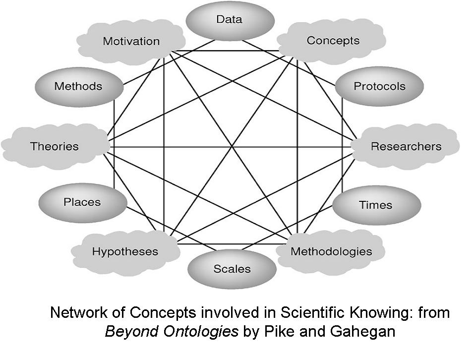
Beyond that Semantics is needed. That is meaningful notations must have some semantics, which determines how symbols in that notation are related to something outside the notation itself. Normally, this external reality are the significant items for scientists and application systems must be faithful to the semantics of realities. An example would be commin semantic relations for has_origin_of or Located_At. Some basic semantics represented in ontologies and encouraged by the semantic web are discussed in SOCoP/GeospatialOntologies. (2JXJ)
Pragmatics is another aspect of interoperability. Pragmatics is that aspect of meaning that explains the motivation or the reason why some action is performed. To be useful applications must have implement a practical use - the pragmatics that supports the goals or intentions of the end users (e.g. Geo Scientists) as implemented by IT designers and developers. To capture intentions of user one employs use cases or scenarios that describe intended functionality in context that makes the goals of system usage easily understood. (2JXK)
Recently the Ontolog Forum started Sharing and Integrating Ontologies (SIO) project to collaborate and coordinate the development of tools, theories, and methodologies to develop integrated ontologies to support interoperability SIO is a companion to the Open Ontology Repository (OOR), which is also sponsored by the Ontolog Forum. For more on these see http://ontolog.cim3.net/cgi-bin/wiki.pl?SharingIntegratingOntologies and http://www.jfsowa.com/ontology/sionto.htm (2JX4)
The Big Data Challenge (2VCH)
One of the drivers of the Project is to aid scientists in handling the anticipated Big Data aspect of Science. (2VCG)
The Big Data argument was made in the 11 February 2011 issue of Science. This provided a broad look at the "issues surrounding the increasingly huge influx of research data." The challenges creating by dramatic increases in data start with physical archiving of content but then move to ways of making the data available to share. Often this is done by developing a shared model, but even models must be shared on large efforts such as climate change where coupled atmosphere-ocean general circulation models (AOGCMs)have been used to make better climate change projections. Still larger integrations (physical climate system -- atmosphere, land surface, ocean and sea ice etc.) such as the Coupled Model Intercomparison Project (CMIP) have been developed in response to activity of the World Climate Research Programme's (WCRP's) See http://www-pcmdi.llnl.gov/ipcc/about_ipcc.php) and G. A. Meehl et al., The WCRP CMIP3 multi-model dataset: A new era in climate change research. Bull. Am. Meteorol. Soc.88, 1383 (2007) for more information. (2RX6)
Sharing of such diverse data is enabled by ease of access and discover of data that may be needed for purposed that differ from the original reasons for gathering the data. Data can be hard to find by disciplines other than the ones originally gathering the data. Does some historical data on climate may be hard to find if you are not a climate scientist. The Feb 2011 issue of Science includes the paper 'Challenges and Opportunities of Open Data in Ecology' by Reichman et al that summarized the Big Climate Data problem this way: (2RX4)
"Technological challenges exist, however, due to the dispersed and heterogeneous nature of these (climate) data. Standardization of methods and development of robust metadata can increase data access but are not sufficient. Reproducibility of analyses is also important, and executable workflows are addressing this issue by capturing data provenance. Sociological challenges, including inadequate rewards for sharing data, must also be resolved. The establishment of well-curated, federated data repositories will provide a means to preserve data while promoting attribution and acknowledgement of its use. " (2RX5)